
ALFA Construction Services
Aerial Site Documentation That Keeps Teams Aligned
Professional drone documentation for contractors, builders, and developers across Northern Arizona. Progress tracking, site mapping, and inspection support that reduces miscommunication and accelerates decision-making.
The visibility contractors need
Aerial coverage eliminates the guesswork. You get documented progress, faster stakeholder alignment, and a clear record of every phase. Less time defending decisions. More time building.
Services
What we document
Three core services designed to give you the documentation and visibility you need to manage projects with confidence.
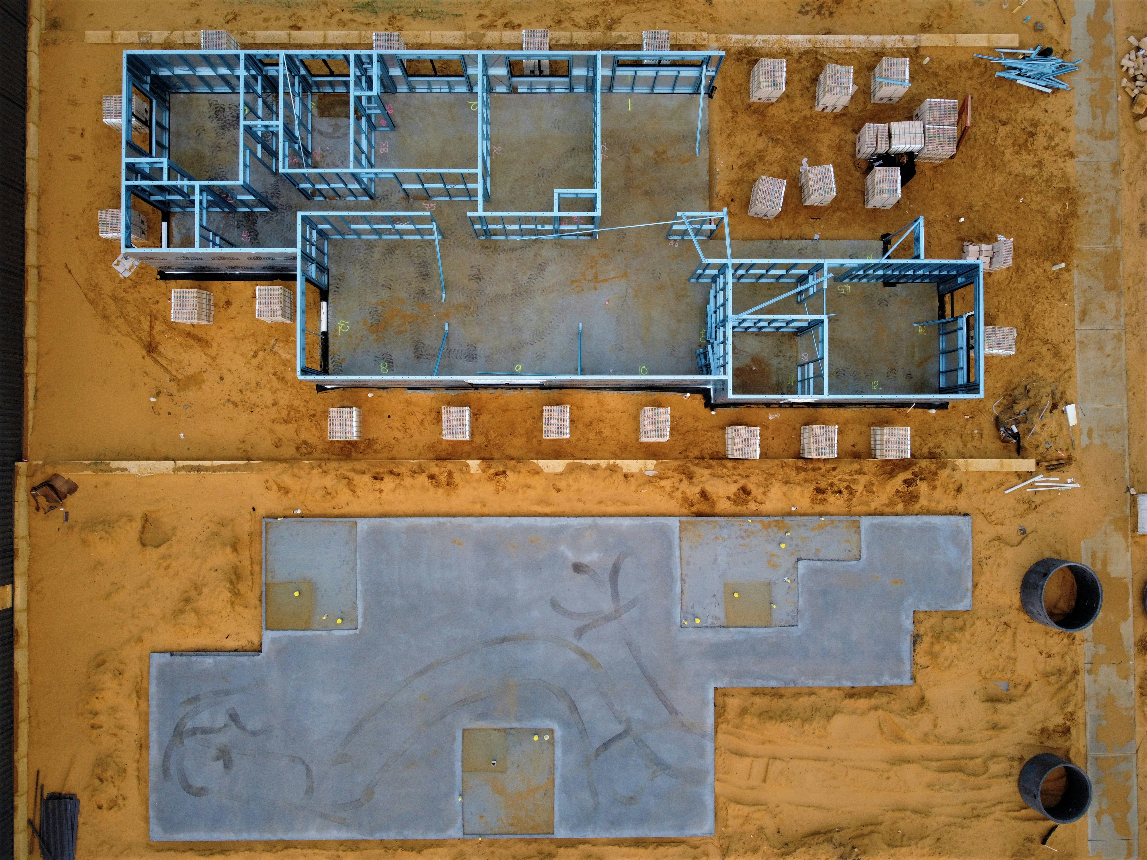
Progress Tracking
Scheduled Progress Documentation
Consistent aerial coverage at key phases keeps stakeholders informed without waiting for site visits. Clients see progress. Partners understand timelines. You have undeniable proof of every milestone.
What's included
- Scheduled photo updates at your intervals
- Before, during, and after comparisons
- Video summaries for stakeholder reports
- Organized delivery ready for presentations or client comms
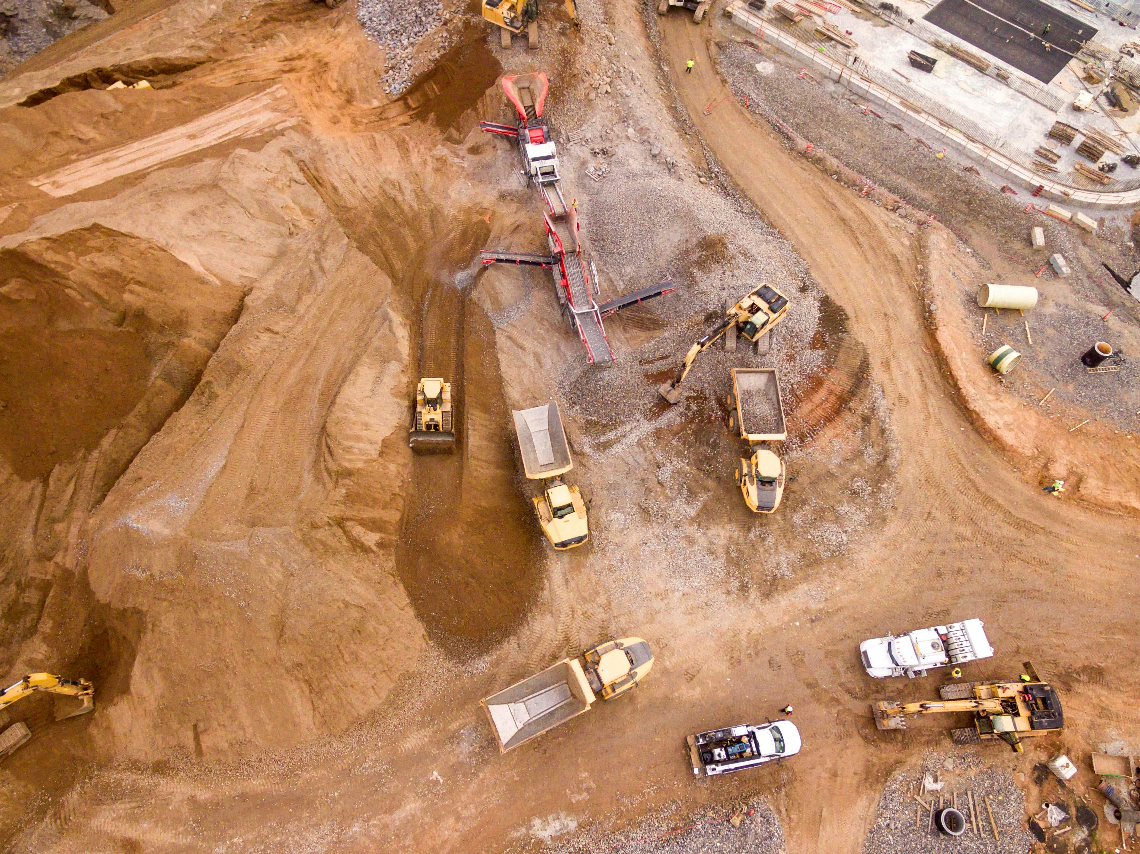
Site Mapping
Orthomosaic Maps & Site Documentation
Precise overhead maps for land projects, earthwork documentation, and layout verification. Track site changes over time. Make faster decisions. Reduce the risk of miscommunication on scope and boundaries. Not a licensed survey service.
What's included
- High-resolution orthomosaic maps
- Change documentation over project phases
- Site condition updates for planning
- Easy integration into project reports and timelines
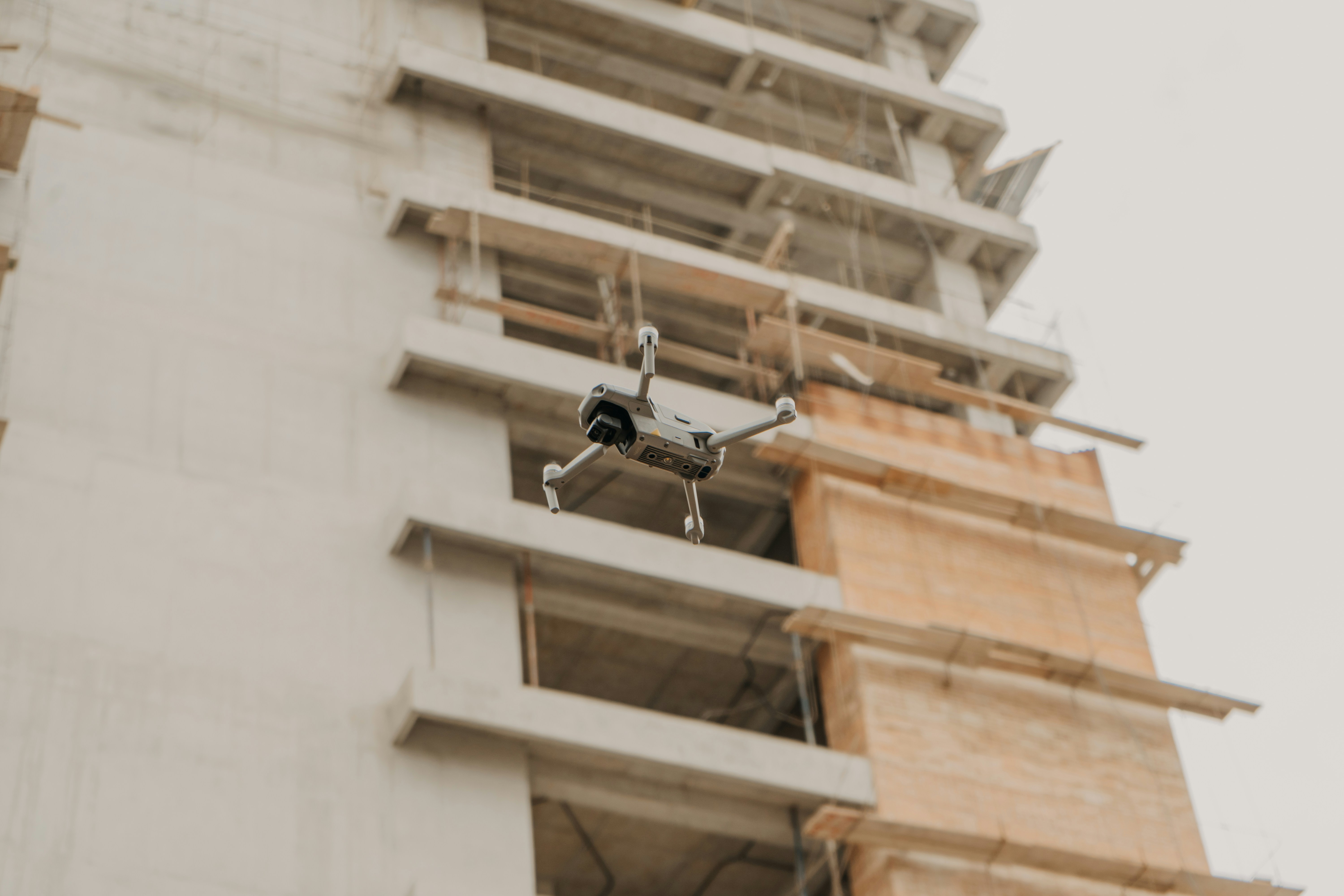
Safety & Inspections
Aerial Inspection & Hard-to-Access Documentation
Review roofs, structures, and elevated areas without sending crews up. Drone imagery gives you clearer visibility, better documentation, and safer inspections. Identify issues early. Avoid costly rework.
What's included
- Roof and exterior inspection imagery
- High-access area documentation without crews
- Defect and detail photography for QA
- Professional inspection records for liability and handoff

Process
How it works
Straightforward. No surprises. Built to fit into your workflow without friction.
Step 1
Share the project
Tell me the site, timeline, scope, and documentation you need. That's all I need to quote.
Step 2
Plan the details
We align on capture frequency, deliverables, and scheduling to fit your project phases.
Step 3
I handle the flying
Professional, safe flight work on location. You stay focused on the job.
Step 4
Get organized files
Professionally organized photos, video, or maps ready to drop into reports or share with clients.
Every project includes
What you actually get:
Documentation that pays for itself through faster decisions, clearer communication, and fewer repeat site visits.
- Professional visuals you can share with clients and partners without explanation
- Undeniable progress record that settles timeline questions
- Safer documentation of elevated or restricted areas
- Evidence-based site maps for planning and decision-making
- Organized files that integrate into reports, proposals, and presentations
- Reduced site visits and faster issue identification
Ready to get better site visibility?
Tell me about your project, location, and timeline. I'll send a clear quote based on exactly what you need.